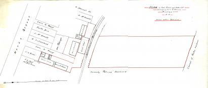
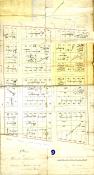
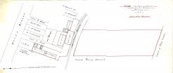
Plan of Howard Primrose's property (and its division) on Grange Street, dividing the land to James Primrose, Howard, A.C. McDonald, Ewen C. Henderson, and Peter Fraser.
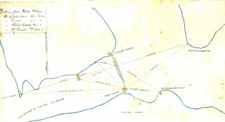
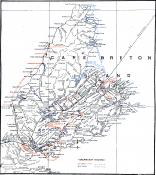
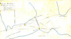
Edward Mortimer and Robert Logan properties along the St. Lawrence, James Milne land along River John Road, and varies properties along the West Branch river. Maps by Charles Morris.