Map of Land Indenture described in the contract between brothers Donald McKenzie and Kenneth McKenzie . Scaled 10 chains to an inch - George Hattie
Agreement between Donald McKenzie and Kenneth McKenzie, both of Greenhill
View of St. Andrews Street and Kinnear Street
Town of Pictou lots
Spruce and Elliot Street and McLeod and Purvis properties
Farm lots near the East branch of the East River and West River of Pictou.
Survey maps of land near Eight Mile Brook, containing various plots of land that are connected to a deed between Anthony and Sidney Smith (as mentioned on survey map)
Plans and survey map for property of Donald McLeod and Alexander McLeod
Survey map plan of lots near Black River and the road that led from Pictou to River John.
Four Mile Brook survey map
Survey map that consists largely of McLean lands
Notebook used from 1860s-1870s for survey work throughout Pictou County by Ebenezer McLeod. Includes notes about jobs as well as maps.
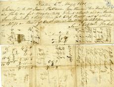
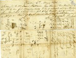
Survey notes from James Patterson to Mr. Dawson and Simon Fraser, dated 1800
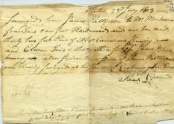
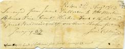
Survey notes from James Patterson to Mr. Mortimer, dated July 1803
Survey not from James Patterson to Messrs, Lowden, dated September 13th, 1809
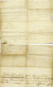
Note from May 1801 from Samuel Copeland
Survey note dated 1819 from Thomas Mooring, for land from James Patterson to Edward Mortimer
Note of land surveyed from James Patterson to Mr. Mortimer in 1803
Survey note for lumber from James Patterson to Edward Mortimer & Co., 1809