Description
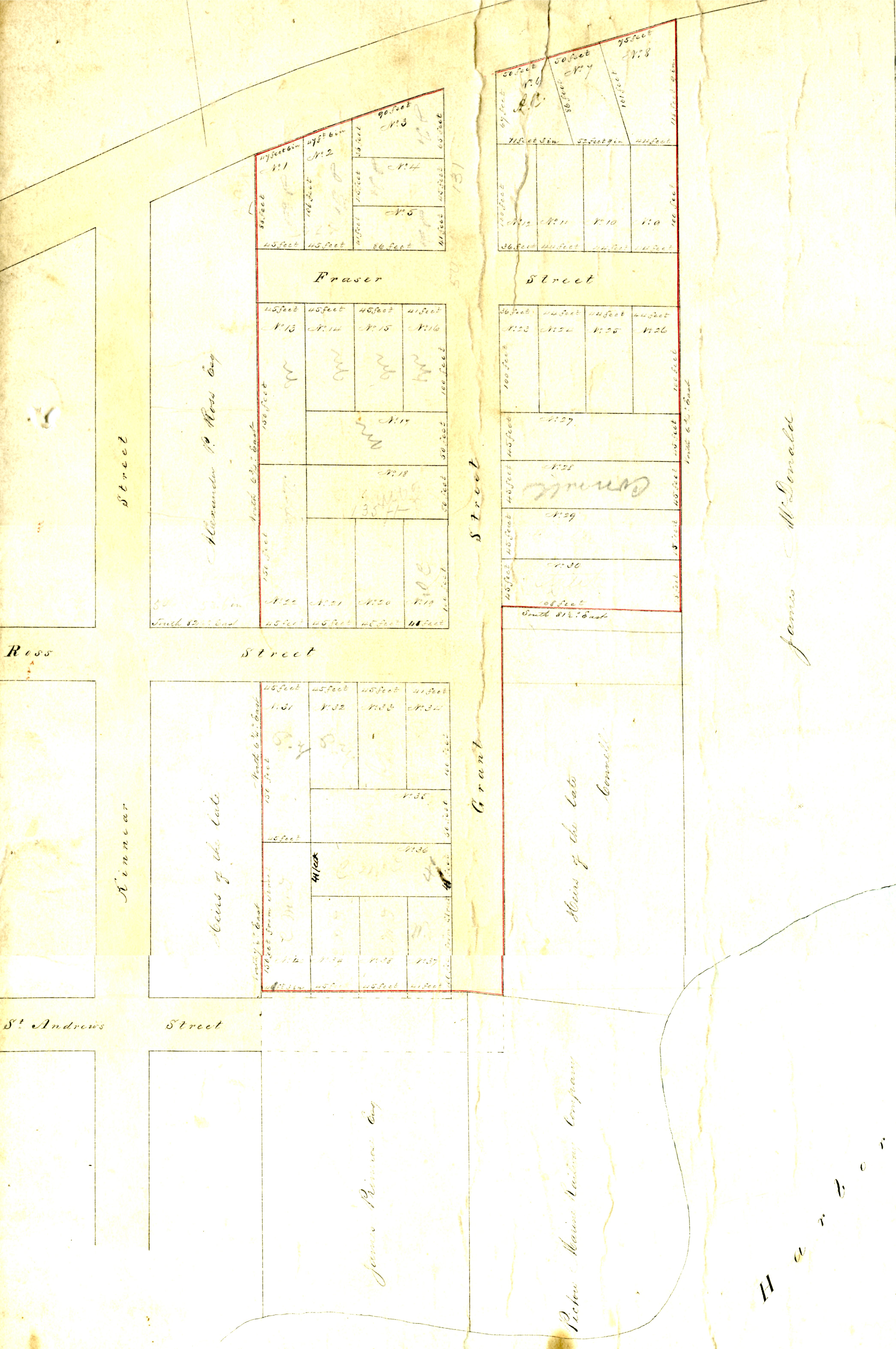
Plan for the Division of Isaac A. Grant's Land
Area surrounding Battery Hill. Map dated 1874.
File Location
Top of Photo Cabinet
Details
| File number: | 2015-9-17 |
| Contributor: |
|
| Tags: | map, Battery Hill, Pictou, Isaac A. Grant, Grant |
| Views: | 940 |
| Uploaded on: | July 23, 2015 |
Know something about this image?